Mapping from the Clouds: The Impact of Drones in Surveys
In recent years, technological advancements have revolutionized the field of surveying, making tasks that were once time-consuming and labor-intensive more efficient and accurate than ever before. Among these innovations, one of the most transformative has been the integration of drone technology into survey operations.
The Rise of Drone Surveying
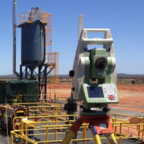
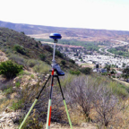
Traditionally, surveying involved ground-based methods using instruments like total stations and GPS receivers. While effective, these methods often faced limitations in terms of accessibility, especially in challenging terrains or remote areas. Enter drones — unmanned aerial vehicles equipped with high-resolution cameras and advanced sensors capable of capturing detailed images and data from above.
Dolphin Engineers, we have embraced this cutting-edge technology to enhance our surveying capabilities. Our drone surveying services leverage state-of-the-art UAVs to collect geospatial data with unprecedented speed, accuracy, and safety. Whether it's mapping large-scale construction sites, monitoring infrastructure projects, or conducting environmental assessments, drones provide a bird's-eye view that traditional methods simply cannot match.
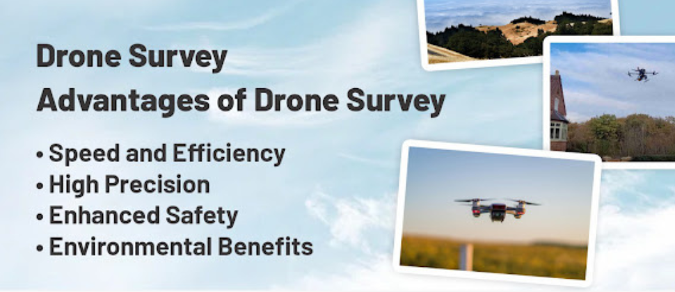
Advantages of Drone Surveying
Speed and Efficiency:Drones can cover large areas in a fraction of the time it would take traditional survey teams. This rapid data
collection accelerates project timelines and reduces overall costs.
High Precision:Equipped with GPS and advanced imaging technology, drones produce highly accurate 3D maps and models. This level of
precision is crucial for planning, design, and decision-making processes.
Enhanced Safety:By minimizing the need for personnel to access hazardous or hard-to-reach areas, drones improve safety conditions
on-site while still delivering comprehensive survey data.
Environmental Benefits:Reduced fuel consumption and minimal disturbance to natural habitats make drone surveying an environmentally friendly
choice compared to traditional methods.
Applications Across Industries
The versatility of drone surveying extends across various industries:
Construction and Development:Monitoring progress, managing resources, and ensuring compliance with design specifications.
Mining and Natural Resources:Mapping terrain, monitoring extraction activities, and assessing environmental impacts.
Infrastructure and Utilities:Inspecting pipelines, power lines, and other critical infrastructure with unparalleled detail.
Looking AheadAs technology continues to evolve, so too will the capabilities of drone surveying. Advances in AI and machine learning
are enabling drones to not only capture data but also analyze and interpret it in real-time, providing actionable
insights to stakeholders.
Dolphin Engineers, we remain committed to staying at the forefront of these developments, integrating cutting-edge technology into our service offerings to deliver superior results to our clients. Whether you're embarking on a new project or seeking to optimize existing operations, our drone surveying solutions are poised to meet your needs with precision and efficiency.
Enquiry