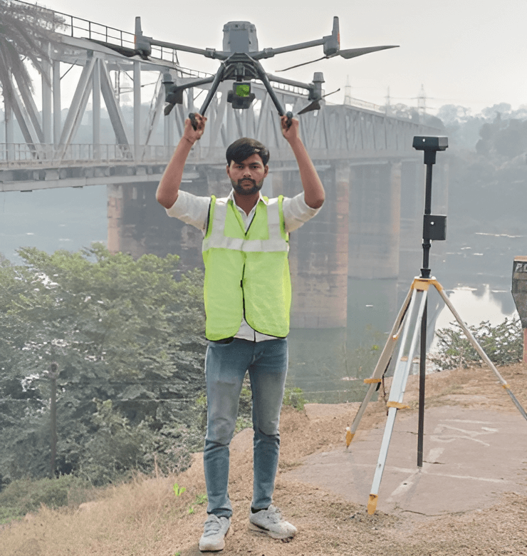
Dolphin Engineer provides advanced LiDAR survey services for accurate terrain mapping, infrastructure development, and environmental monitoring. Using cutting-edge laser technology, we deliver high-resolution data for precise planning and decision-making. Our LiDAR surveys support various industries, including construction, transportation, and environmental management, ensuring efficiency, accuracy, and sustainable project outcomes with a focus on quality and expertise.
TITLE: - Advanced LiDAR Survey Services for Accurate Mapping and Planning
Summary: - At Dolphin Engineer, our LiDAR survey services utilize state-of-the-art laser technology to deliver precise data for terrain mapping, infrastructure development, and environmental studies. We cater to diverse industries, providing high-resolution insights for project planning, resource optimization, and compliance. With a team of skilled professionals and cutting-edge tools, we ensure accurate, reliable, and efficient survey solutions that drive success and sustainability in every project.